


Renewed Hope Agenda: Nigeria Charts Safer Navigation Route to Calabar and Bakassi Corridor
Renewed Hope Agenda: Nigeria Charts Safer Navigation Route to Calabar and Bakassi Corridor
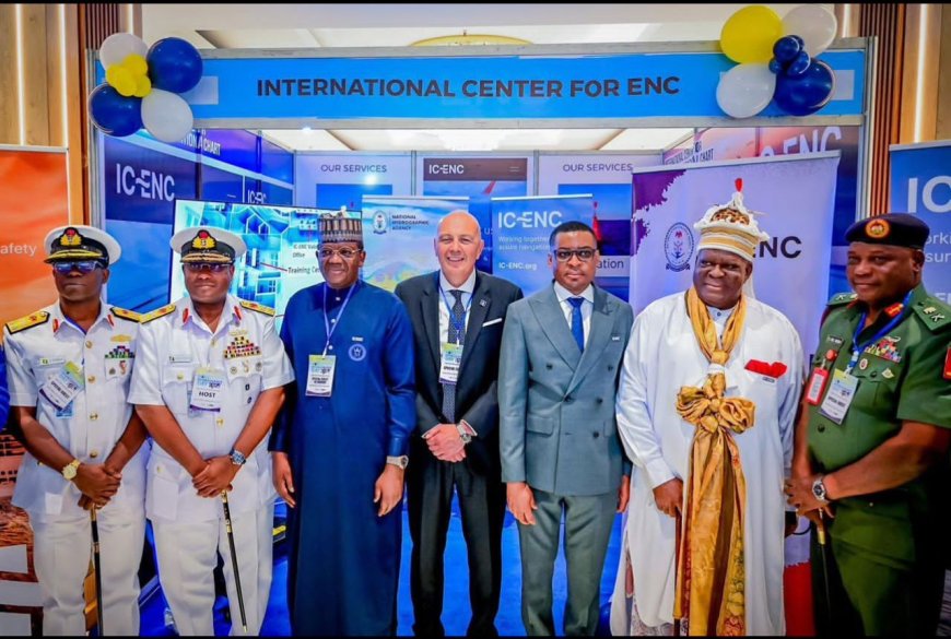
Nigeria has strengthened maritime safety and port access along its eastern seaboard with the release of three new IC-ENC-validated Electronic Navigational Charts for the Calabar–Bakassi corridor, marking a significant milestone in the implementation of President Bola Ahmed Tinubu’s Renewed Hope Agenda for the blue economy.
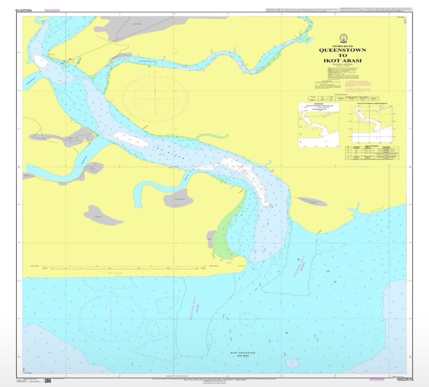
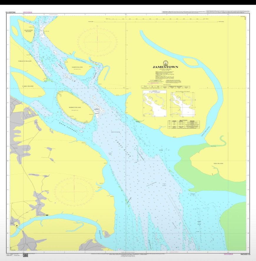
The National Hydrographic Agency confirmed that the charts—NG455150 (Jamestown), NG525190 (Queenstown to Ikot Abasi), and NG542550 (Ports of Calabar)—have been validated by the International Centre for Electronic Navigational Charts and released for use by mariners operating within Nigeria’s coastal approaches.
The deployment ensures that ships navigating through the eastern channel up to the inner port limits now rely on accurate, Nigerian-produced digital charts. The ENCs provide comprehensive coverage of depths, hazards, aids to navigation and harbour infrastructure, enhancing situational awareness and enabling safer and more efficient vessel movements to Calabar Port and the planned Bakassi Deep Seaport.
The charts were generated from a recent high-resolution hydrographic survey of the Calabar–Bakassi axis conducted to international standards comparable to IHO S-44 Order 1, which applies to busy port approaches and harbour entrances. The survey officially began on 21 December 2024, with intensive data acquisition commencing on 6 January 2025, combining hydrographic, geophysical and geotechnical measurements using advanced NHA survey platforms and processing systems.
Rear Admiral Ayo Olugbode, Hydrographer of the Federation and Chief Executive Officer of the NHA, highlighted the strategic importance of seabed mapping to national development, stating, “the sea is our largest unexplored resource, and if we don’t map it, we can’t manage it.”
He noted that the recent high tempo in navigational chart production reflects the deployment of specialised, state-of-the-art naval survey vessels and highly trained NHA personnel. The Hydrographer of the Federation explained that Lagos, Calabar and the Bonny axis remain priority areas within the agency’s phased national mapping strategy.
According to the NHA, more than 85,325 square kilometres of Nigeria’s maritime domain has been mapped so far, with the Calabar sector forming a vital link in a broader ENC network aimed at lowering navigational risk for ships calling at Nigerian ports.
The new ENCs replace legacy navigational products with modern digital charts integrated into global ENC distribution networks. They support compliance with SOLAS, IMO and IHO standards, reinforce Nigeria’s maritime safety architecture and advance the country’s blue economy objectives.
What's Your Reaction?


 The Chairman and Chief Executive Officer of Adron Homes and Properties Limited, Aare Adetola Emmanuelking, has congratulated the Government and people of Oyo State as the state marks its 50th anniversary, describing the occasion as a celebration of resilience, cultural pride, and sustained progress.